Multi-Sensor Geophysical Equipments Are Becoming Standard in Resource Exploration

The nature of
resource exploration is changing fast because of the necessity to be more
accurate, efficient, and cost-effective. In this area, the use of multi-sensor geophysical
equipments are increasingly becoming the norm, and this provides
sophisticated tools in order to identify resources beneath the surface with a
degree of efficiency never before witnessed.
These systems
integrate different types of sensing technologies to provide a holistic
rendition of geological formations, hence making exploration actions reliable
and sustainable.
The
Evolution of Geophysical Exploration
The conventional
modes of exploration were largely based on a single tool, which offered very
little information and, in most cases, had to be surveyed on several occasions
to get a precise final outcome. It was a lengthy and costly process where there
were more risks of overlooking important subsurface anomalies. Having a variety
of sensors in one system, there are now possibilities to record seismic,
magnetic, electromagnetic, and gravity records at the same time.
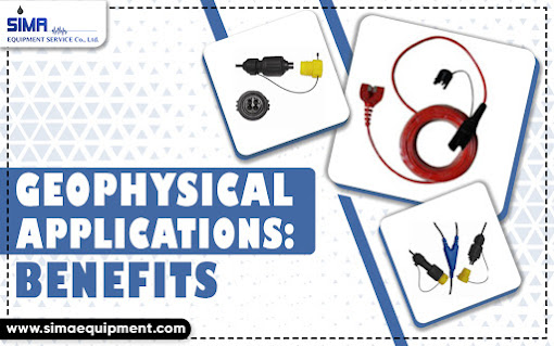
Seismic Cable
Seismic
cable is one of the most important elements
of contemporary geophysical activities. Multi-channel seismic cables, unlike
traditional cables, which use single channels, are able to support several
sensors throughout their length, hence the ability to capture more
comprehensive and detailed seismic data.
Advantages
of Multi-Sensor Geophysical Equipment
The implementation
of these high-tech tools introduces a number of different benefits:
●
Increased Accuracy of Data: The integration of numerous sensor data decreases the interpretation
error in the subsurface.
●
Efficiency in Operations: Multiple sensors of data collection reduce the frequency of survey
repetitions.
●
Cost-Effectiveness: There is increased operating savings in the long run because it
reduces time in the field and the need for repeat surveys.
●
Environmental Compliance: Accurate data collection will cause less drilling, thereby affecting
the environment.
How
Multi-Sensor Systems Work
Multi-sensor
geophysical instruments are based on the combination of various principles of
sensing in one instrument. The seismic waves are produced naturally or artificially
and conducted through layers in the underground, and they are detected by
sensors that are found along a seismic cable.
In the meantime,
conductivity variations are sensed using electromagnetic sensors, density
differences are detected by gravity sensors, and magnetic anomalies are sensed
using magnetometers. The output of every sensor type is coordinated and
interpreted to establish in-depth subsurface modelling, which geologists and
engineers rely on to instruct exploration procedures.
Practical
Applications in Resource Exploration
Multi-sensor
geophysical equipment may be used in a variety of fields:
●
Determining mineral-rich zones
with more confidence.
●
Mapping of hydrocarbon fields to
plan exploration and production.
●
Evaluating the water availability
of groundwater in deserts.
●
Environmental impact assessment
prior to large-scale extraction projects.
The integrated
approach is useful in each application because the combination of various
datasets will enable more accurate modeling of the conditions in the
subsurface.
The
Future of Exploration Technology
Multi-sensor
geophysical equipment will also increase as the exploration projects become
more complex and demanding. The multi-sensor systems standardization will
guarantee that exploration teams can always be more accurate, operationally
efficient, and make better decisions.
Finally, the use of
multi-sensor geophysical instruments aided by such sophisticated devices as
seismic cables is no longer a luxury; it is an essential part of the exploration
of modern resources. They provide detailed, accurate, and effective subsurface
information, and that is why they are the foundation of a more intelligent and
accountable agenda on how to explore the hidden resources of the earth.
.jpg)

.jpg)
Comments
Post a Comment